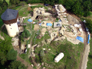
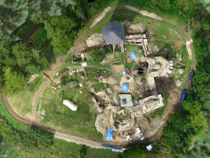
Castle Hartenštejn (Western Bohemia), currently under reconstruction development, was an object of UAV helicopter documentation.
Facing the situation of reconstruction progress, the need for documentation of current state of medieval castle has been arising. Archeoconsult performed the UAV flights aimed on:
- photogrammetric documentation of the castle preserved state
- airborne scanning of terrain shapes
Preliminary results are shown on following figures.


