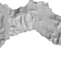
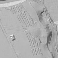
In recent months, we have analyzed and visualized lidar data on a planned archaeological survey around the town of Náchod (S Bohemia). The project was implemented for the private archaeological company Stik.
More than half a billion raw points from lidar sensors with an area of approximately 7 km2 were available. The data was classified and reduced semi-automatically – partly using the Improved Cloth Simulation Filter algorithm and partially manually, especially in the case of standing building structures. Ongoing archaeological research (probes and topsoil dumps) are clearly visible in the analyzed images.


